Previous CARIOCA SYMBIOSIS
Landscape
NATURE FROM ABOVE
Scale, texture, and behavior in aerial perspective—with precision and care.
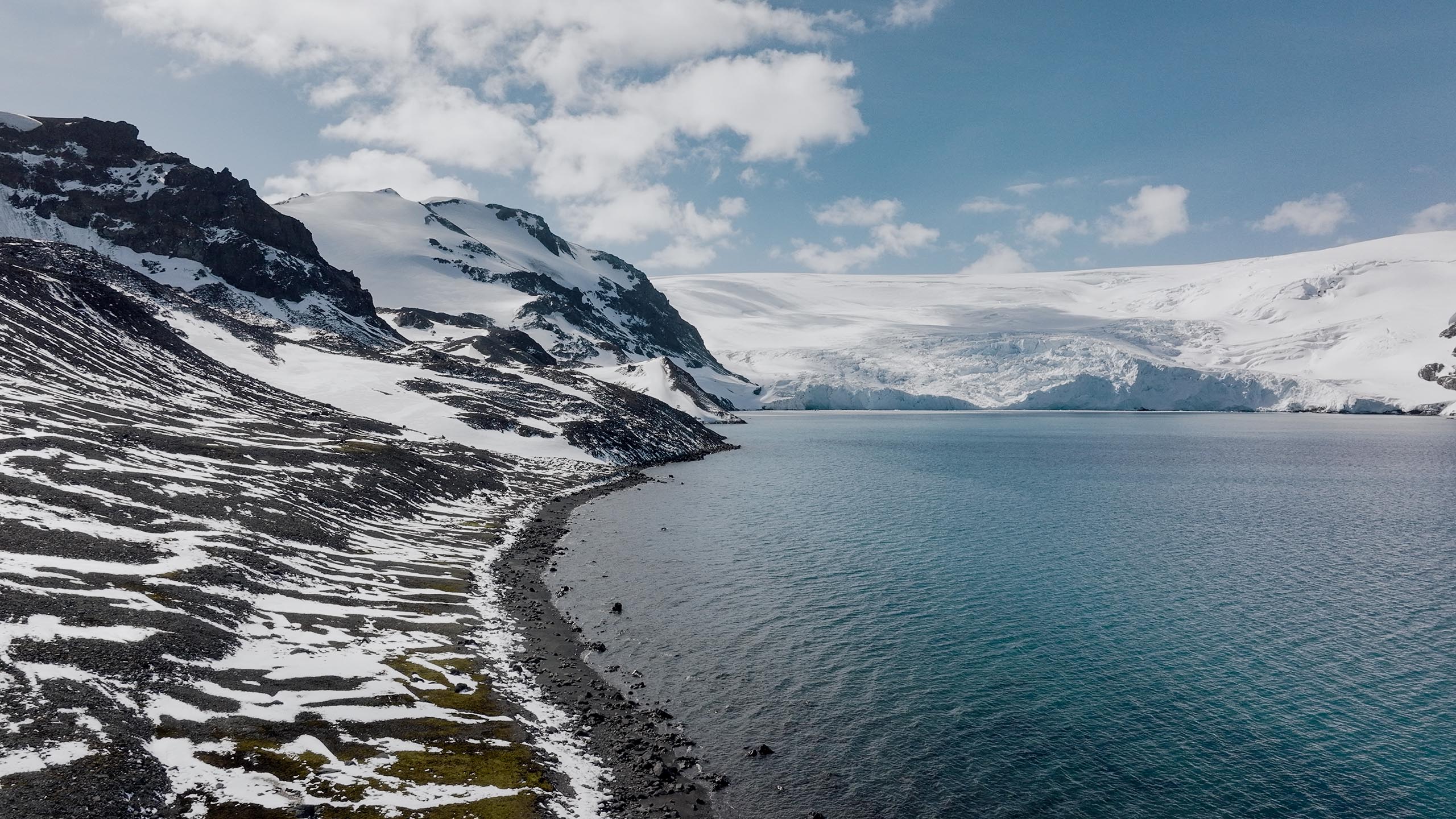
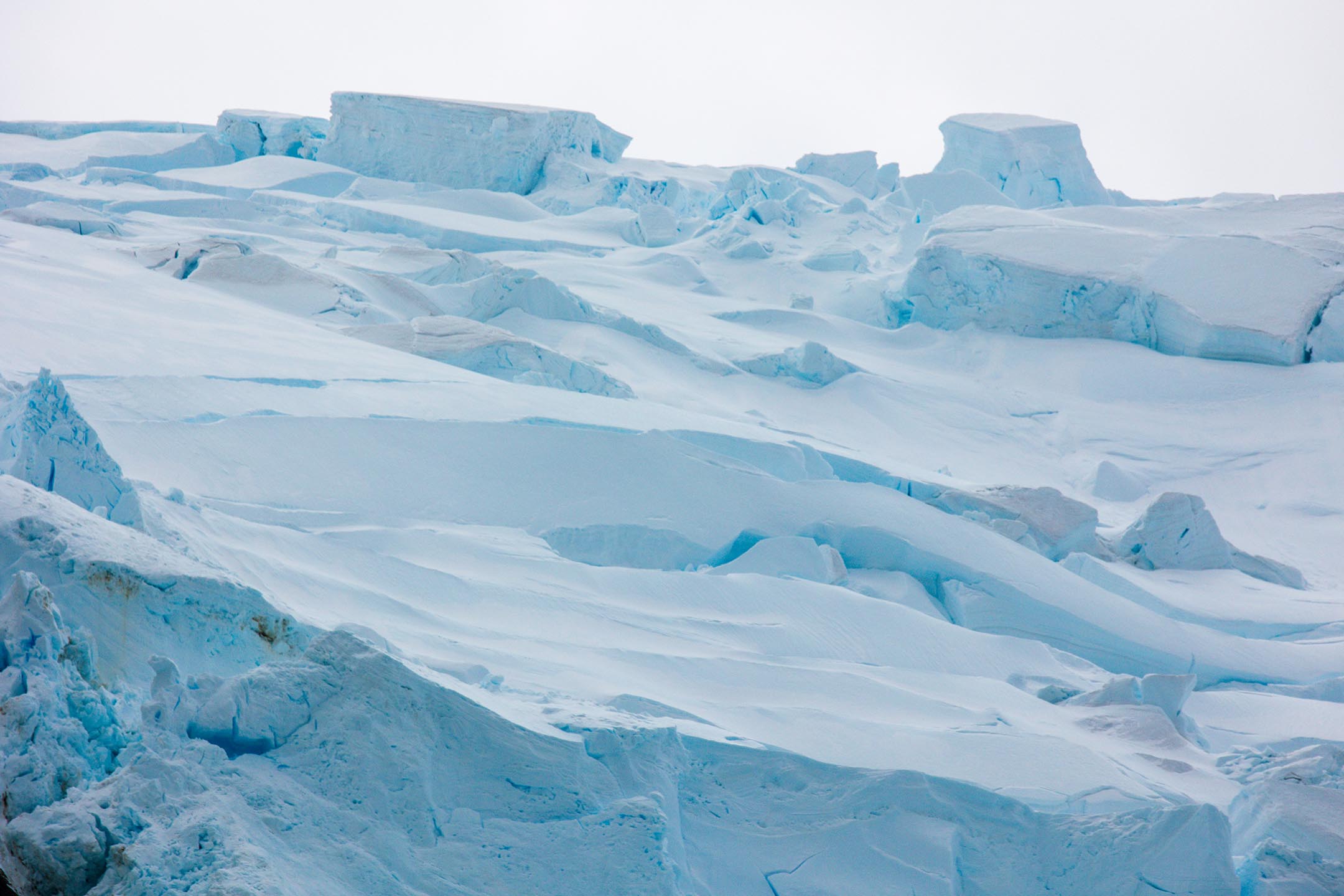
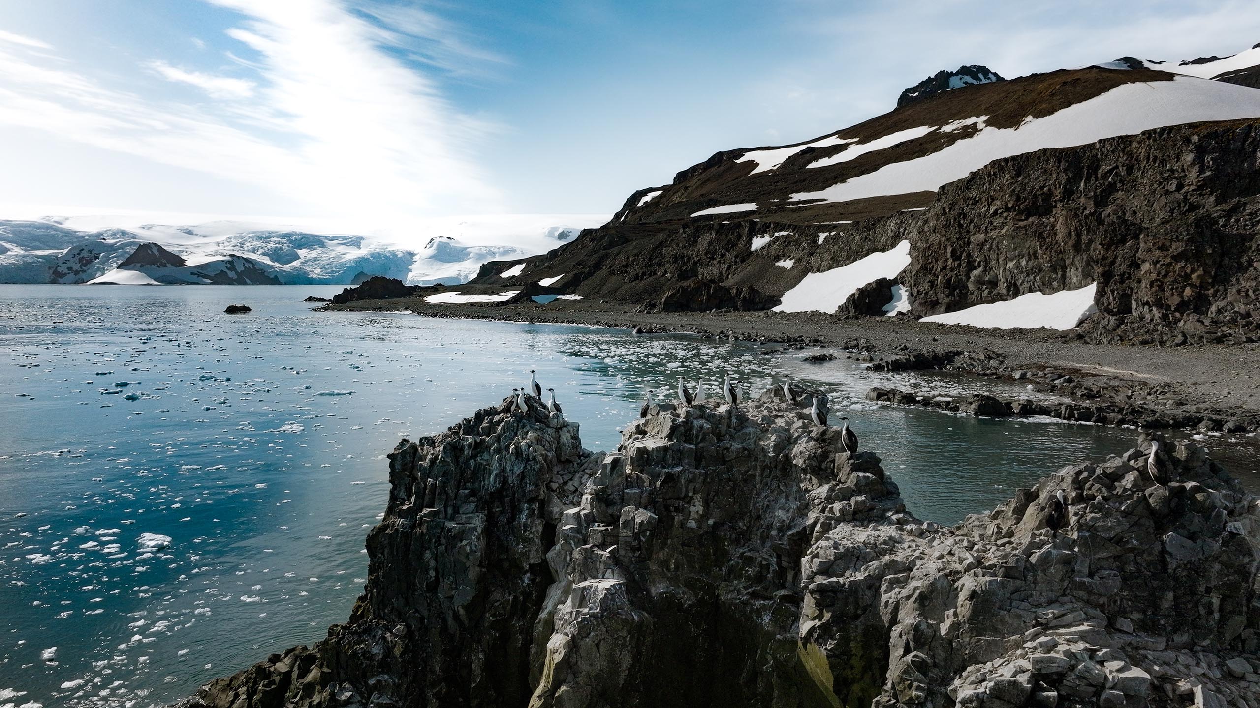
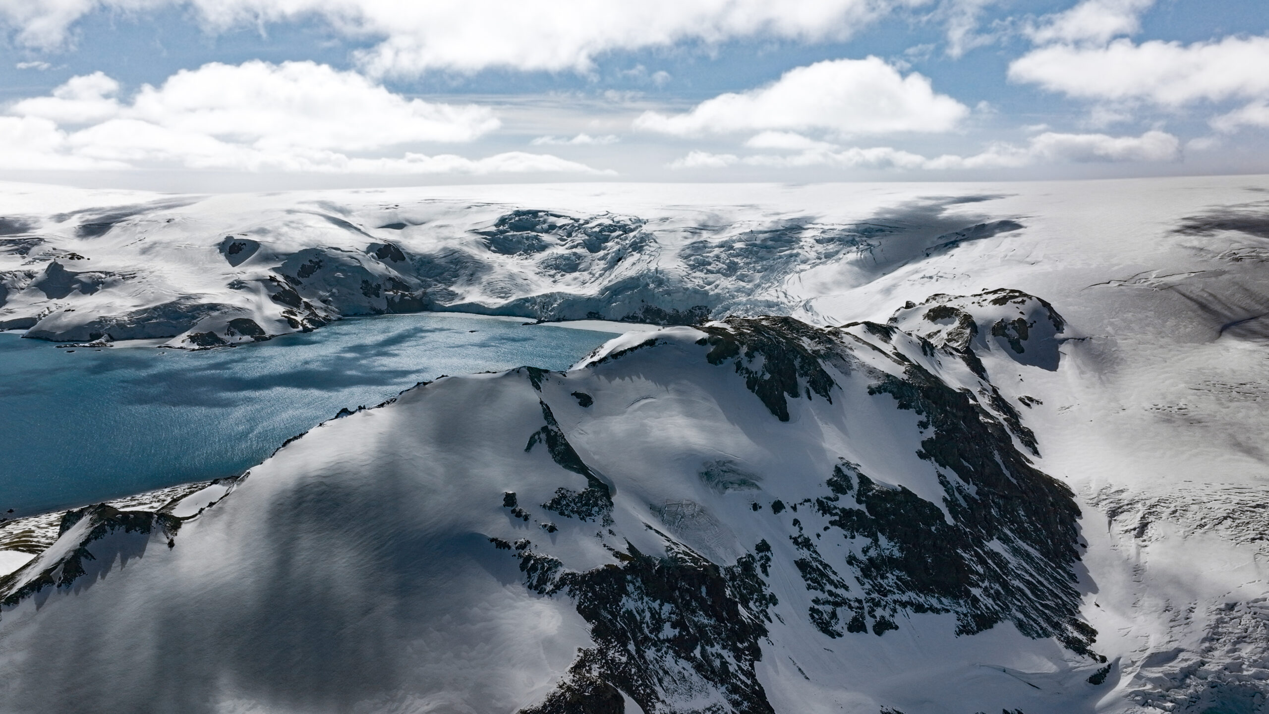
Antártica
Aerial images reveal scale, context, and access to points unseen from the ground: coastline, rock formations, ice/sediments, and natural platforms where birds and other animals occupy their territory. From above, the relationship between landscape, wildlife, and environmental conditions becomes clear—useful information for documentation, research, licensing, tourism, and communication.
Every flight is planned with safety and respect for the wildlife to precisely record landscapes, coasts, and structures—high-resolution photo and video, ready for reports, disclosure, and archiving.